Extension - Climb to the top of Červený kámen (Kopřivnice)
TYPE: walking trip

STARTING POINT
Trailhead - Janíkovo sedlo
Janík's saddle (Janíkovo sedlo)

FINISHING POINT
Guidepost Signpost Pod Červeným kamenem
ROUTE
STARTING POINT: Trailhead - Janíkovo sedlo (0 km) – (A) Červený kámen – FINISHING POINT: Guidepost Signpost Pod Červeným kamenem (3,7 km)
Extension for demanding tourists - climb to the top of Červený kámen (Red Stone)
DESCRIPTION OF THE ROUTE
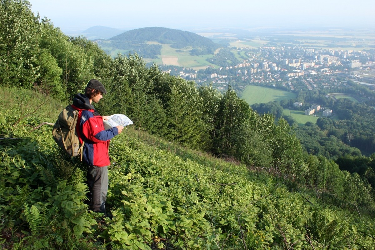
From Janík's saddle (A) follow the Lachian nature trail sign to the top of Červený kámen (Red Stone) (B), which provides an unusual view of Kopřivnice and more distant surroundings in good weather. From the top, go back to "Circuit way" on the slope (C) –Signpost Pod Červeným kamenem, there leave the Lachian trail route that goes to the left and go in the opposite direction (right) back to Janík's saddle (A).
INDIVIDUAL SECTIONS
(A) Janíkovo sedlo - (B) Červený kámen
SIGN:

very challenging
 1,3 km
 197 m
197 m
 206 m
206 m
 7 m
7 m
SURFACE: footpath, forest road
(B) Červený kámen - (C) Pod Červeným kamenem
SIGN:
slightly demanding
1,7 km
174 m
11 m
185 m
SURFACE: forest path, forest road
(C) Pod Červeným kamenem - (A) Janíkovo sedlo
SIGN:

easy
630 m
27 m
10 m
35 m
SURFACE: forest road